


Close
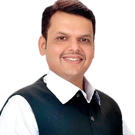
    • Shri. Devendra Sarita Gangadharrav Fadnavis Hon'ble Chief Minister
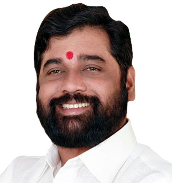
    • Shri Eknath Shinde
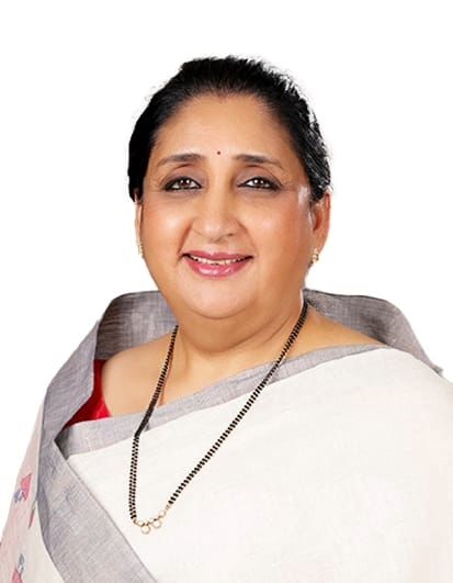
    • Smt. Sunetra Ajit Pawar
    • Shri. Girish Gita Dattatray Mahajan

    Welcome to Maharashtra

    Maharashtra, situated in the western and central parts of peninsular India, spans an area of 308,000 square kilometers and boasts a 720-kilometer-long coastline along the Arabian Sea. Its geographical boundaries include the Sahyadri mountain range to the west, the Satpura hills to the north, and the Bhamragad-Chiroli-Gaikhuri ranges to the east. Administratively, the state is […]

    Read More

    Hazards Specific GIS Maps

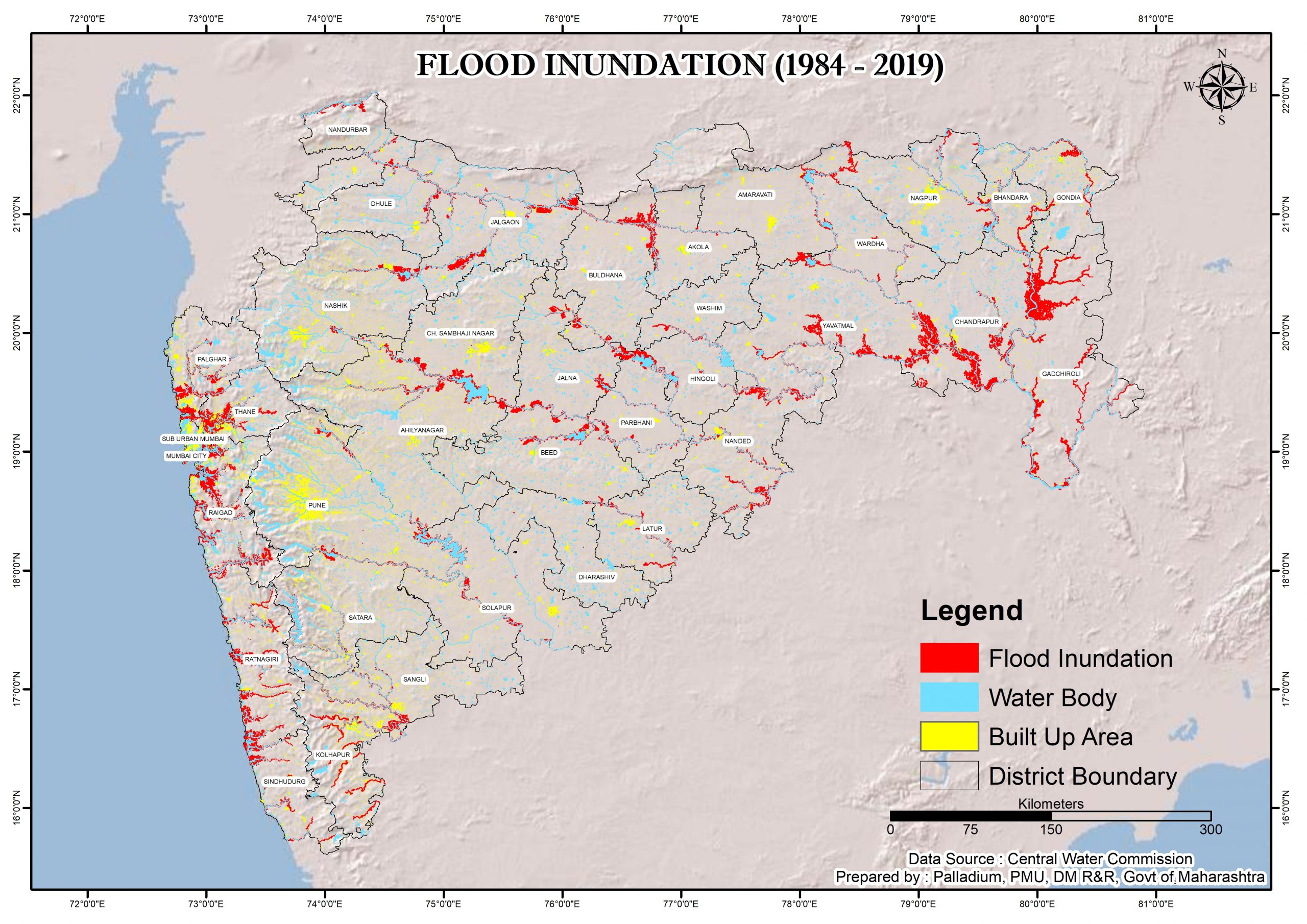
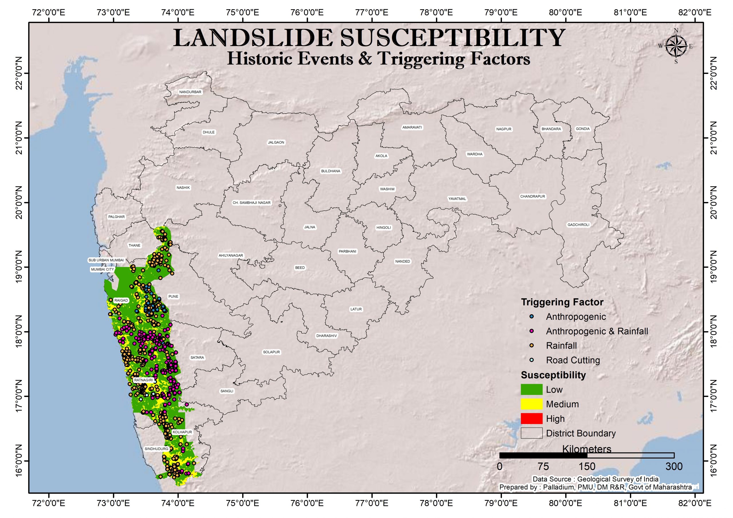
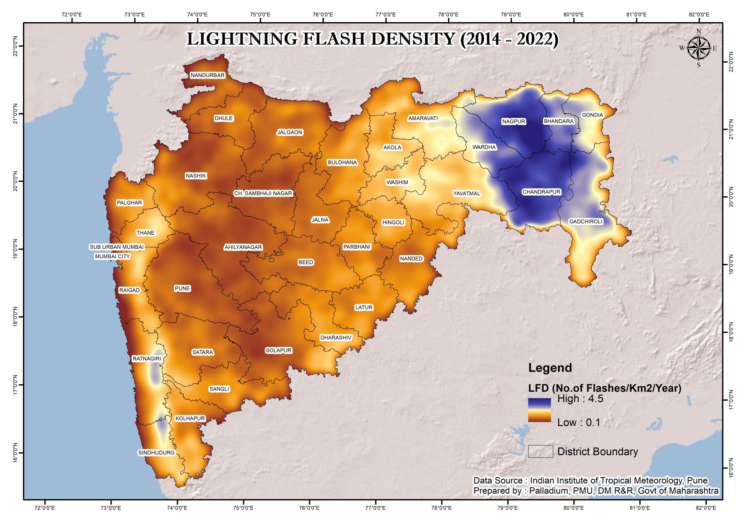
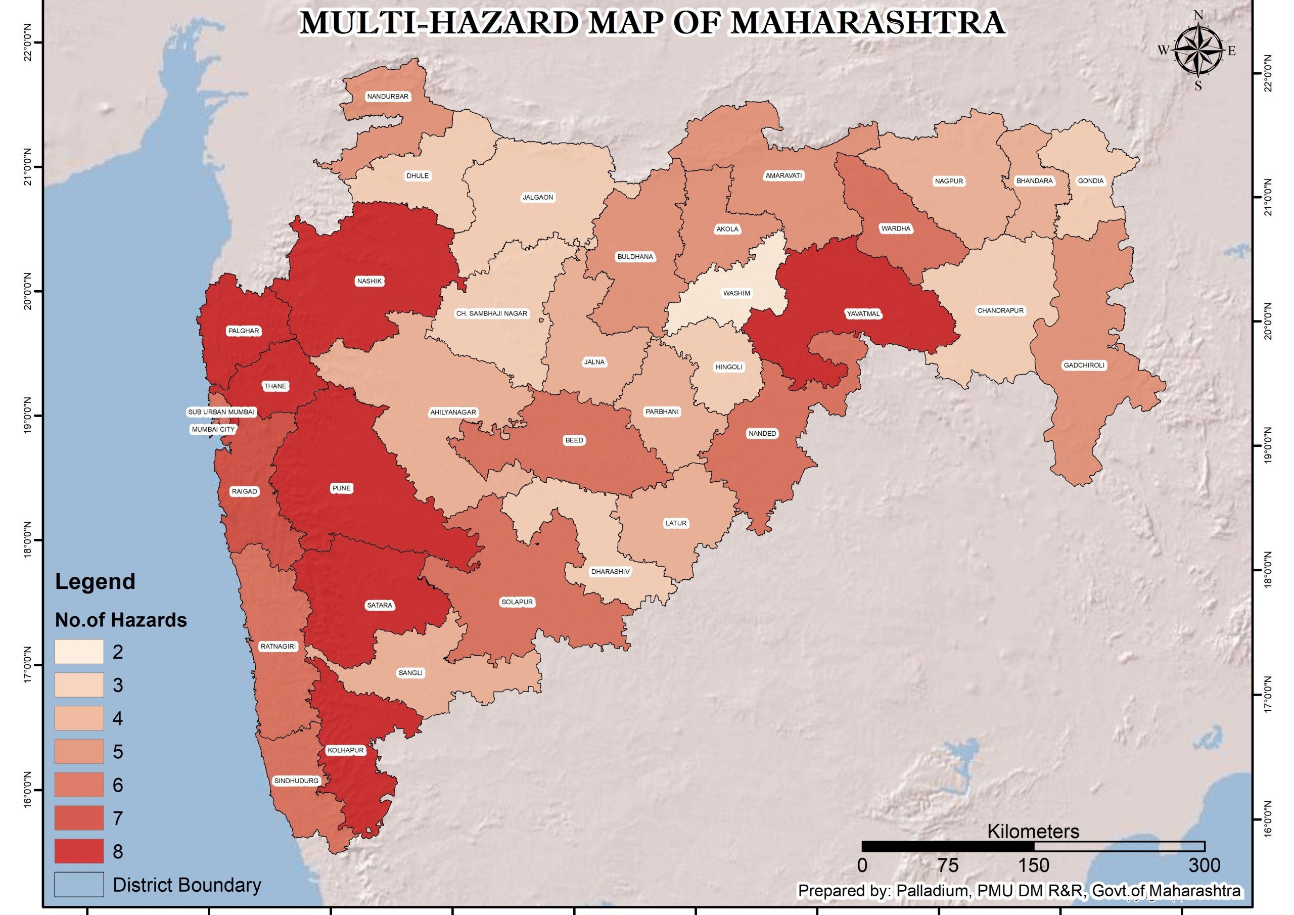
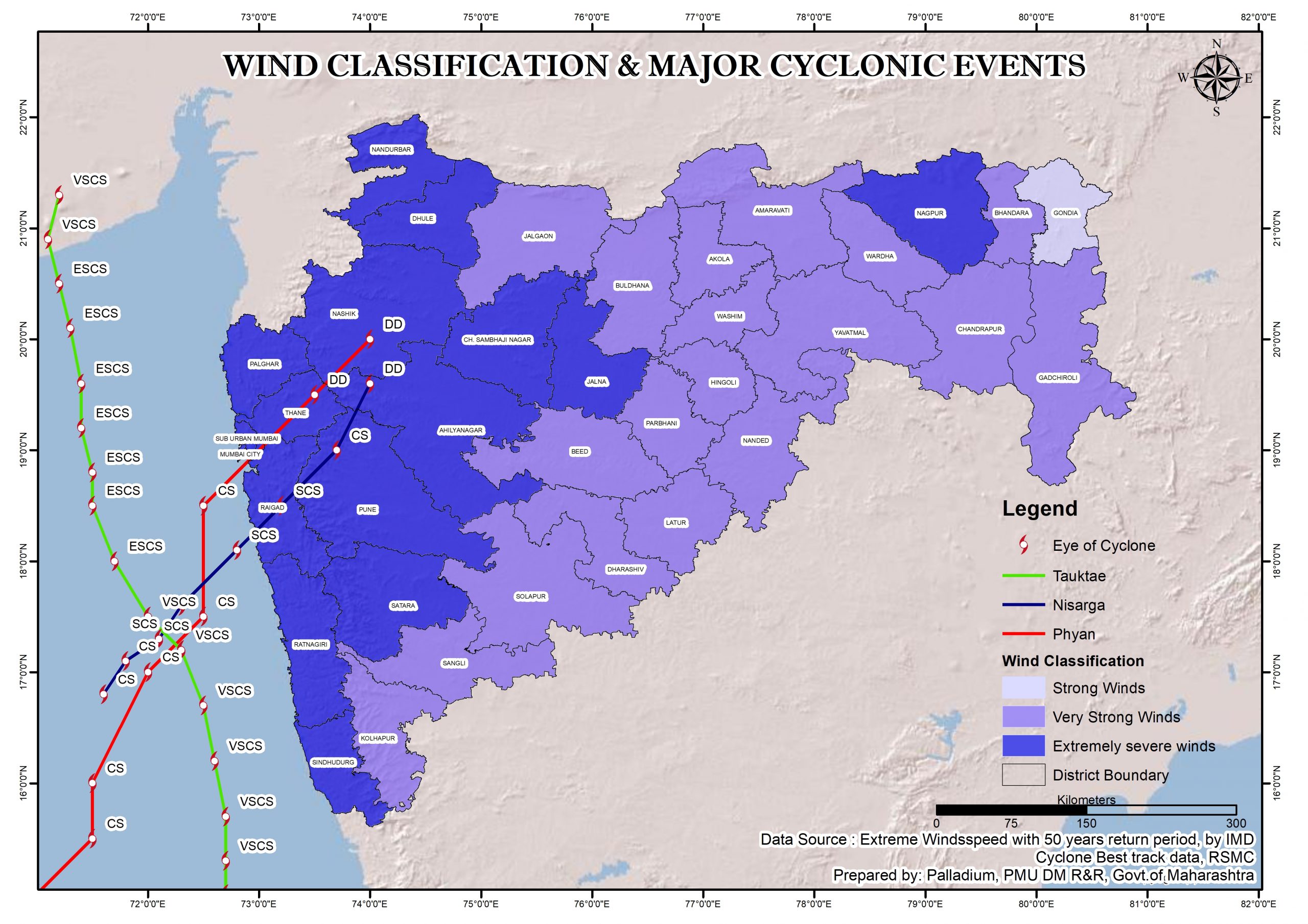
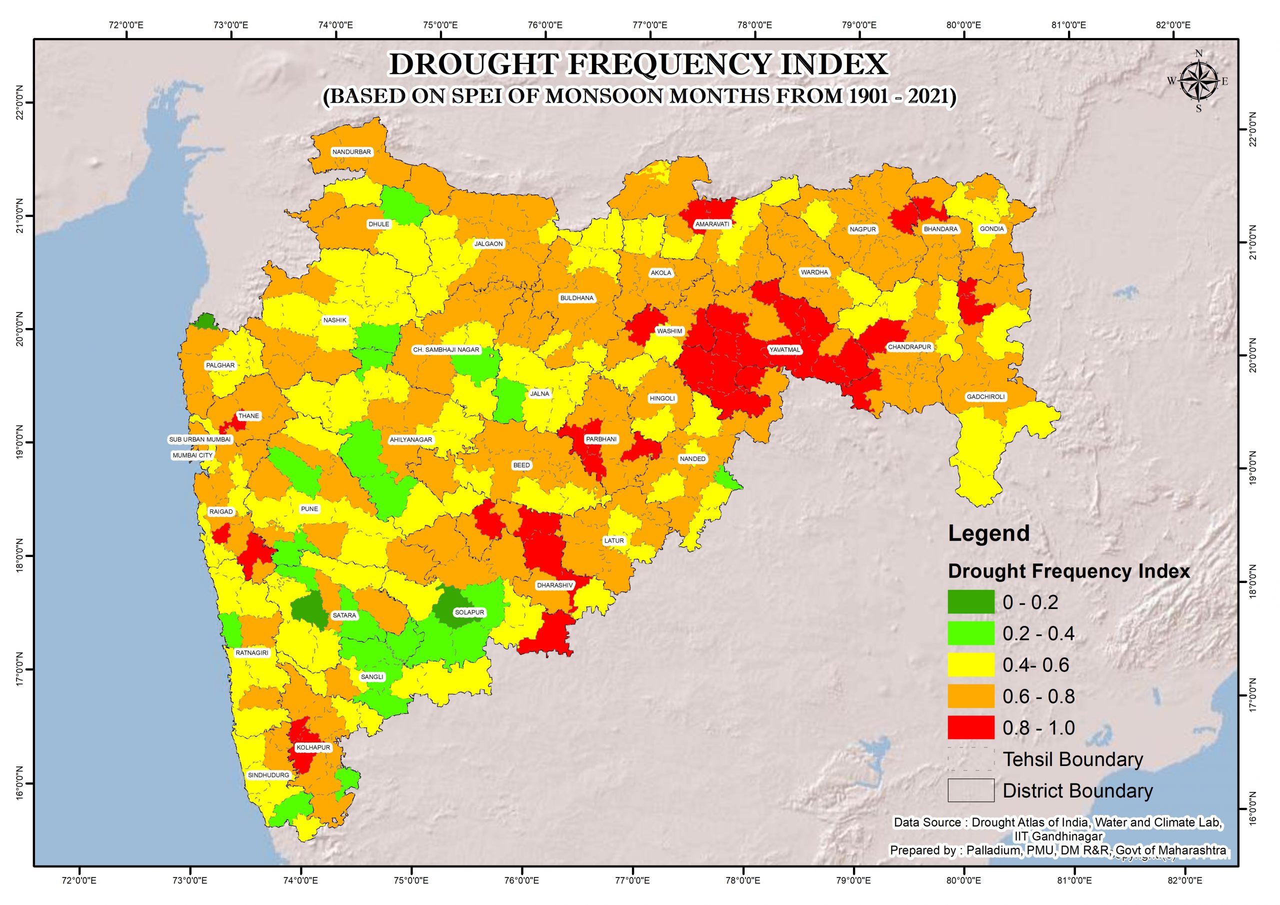
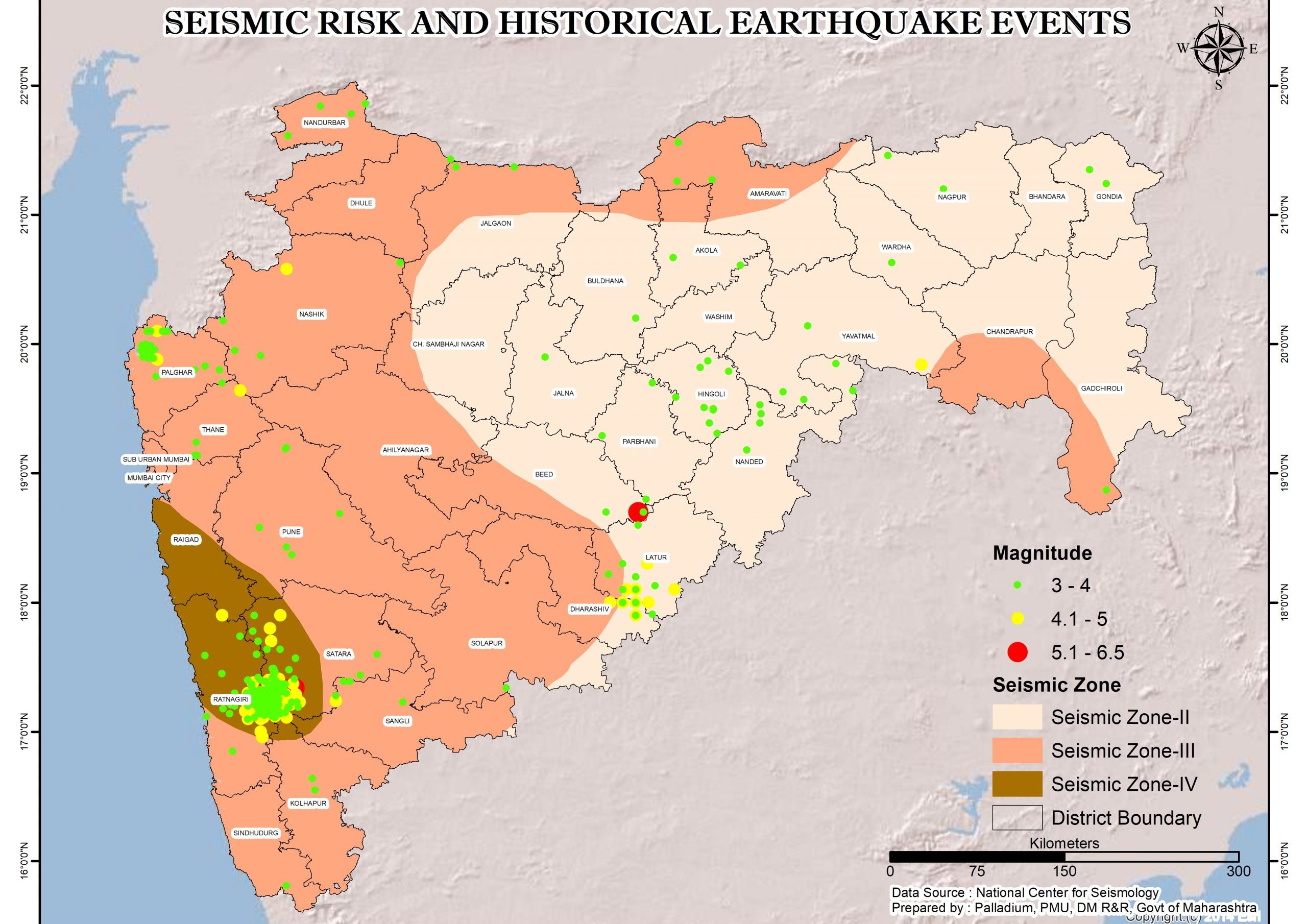
    Maharashtra is prone to multiple hazards, including landslides, floods, cyclone, earthquake, drought and lightning strikes. The Western Ghats and Konkan region exhibit a high susceptibility to landslides, induced by heavy rainfall patterns and anthropogenic activities, heavily impacting the districts of Raigad, Pune, Ratnagiri, Sindhudurg, and Palghar…….[Read More]
    Bharat Forecast System:

    BharatFS is India’s indigenous high-resolution weather prediction system, providing hyper-local weather forecast at a finer 6 km x 6 km scale. It supports village and cluster-level weather awareness for weather-informed decision-making, preparedness and early action.

    Note: BharatFS outputs are model-based weather guidance. For official warnings and advisories, please refer to IMD bulletins and SDMA updates.

    • Disaster Response and Relief: 1070
    • Police / Emergency: 112
    • Ambulance: 108
    • State Emergency Operation Centre: +91-9321587143

    No post to display

    No post to display

    No post to display

    Mobile Application for Government of India Initiatives

    CAP Sachet Mobile AppCAP Sachet App

    Damini Lightning AppDamini Lightning App

    BhookampBhookamp

    MausamMausam

    Meghdoot

    Meghdoot

    Bhooskhalan

    Bhooskhalan